Mobile Field Survey

Mobile Mapping Solutions
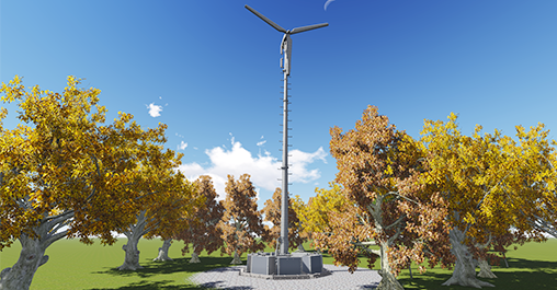
Centillion, with its in-depth experience in applying smart technologies innovatively to provide value added solutions to our customers, brought smart field data collection services using latest LiDAR tools to Telecom & Utility industries.
Mobile Mapping solution is best suited for road survey and corridor mapping because of its ability to capture extensive amounts of data at high speeds, drastically reducing the requirement for physical walkout, and need for multiple rounds saving both time and money.
Centillion offers end-to-end smart Field survey services employing Mobile, Terrestrial & Aerial LiDAR as required.
Service Offering
At Centillion, we leverage advanced technology and precise data collection to transform raw field data into actionable insights. Our comprehensive Cell Design services cater to a wide range of engineering and regulatory needs, providing the foundation for effective decision-making and project execution. From regulatory compliance to construction progress monitoring, our tailored solutions ensure accuracy, efficiency, and enhanced project outcomes.
Cell Design services:
- Field Survey Data for Engineering design
- Corridor Survey & Mapping
- Filed Data for regulatory compliances
- Field Data for Permit application processing
- Asset Mapping
- 3D Visualizations & Walk-through
- 3D Contour Modelling & Simulation
- 2D/3D Topographic feature maps
- 3D Data sets (DTM, DEM, DSM)
- Data for Vegetation management
- Data for Construction progress monitoring
Industries Served:
- Communications
- Utilities
- HDOT/Transport Agencies
- Railways
- Local Government Agencies
- Agriculture
- Construction

Unique Value proposition
Our services, from data capture to analysis, ensure efficient project execution with unparalleled accuracy. We provide cutting-edge mobile LiDAR solutions that empower telecom and utility companies with accurate, real-time data for efficient project management.
Our comprehensive service offerings, flexible pricing, and ongoing support ensure that clients receive maximum value and seamless integration into their workflows.
Features:
- End to end services
- Web access to Lidar /Image data
- Flexible pricing options
- Subscription Services